Worldwide Kite Aerial Photography week is now over. I was able to get 2 sessions with the kite in the past week. WWKW is a collaborative effort by the users of the KAP forum to actively get out and capture aerial images around the world. These images are posted to a flickr group, and a book is created each year. I was editor last year, and am glad to not have that responsibility again.
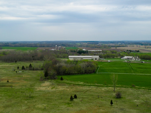
My first session was at the Russell Military Museum, which I posted about last week. Yesterday's session was much more enjoyable, with a steady breeze on the edge of using my FlowForm 16, but decided on the FlowForm 30 to ensure I'd be able to fly multiple cameras. I ventured out to the Bong State Recreation Area nearby to where I live, as I notice a huge "X" on the ground while browsing Google Earth. I figured that this was as good a spot as any, as the Bong State Park was originally purposed as a jet fighter base which was cancelled at the last minute. You can still see where the runway was suppose to be. Here are some favorites:
X Marks the Spot
Wisconsin Farmland
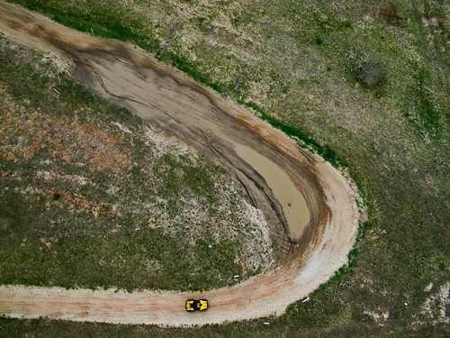
ATV Riding
Bong offers space for many activitys, including dirt bike and ATV trails. There was a group also setting off model rockets, as well as a model airplane runway. It's a popular place for bird hunting as well. My dogs love being able to be off-leash and run through the brush.


No comments:
Post a Comment